|Networks|Satellite AIS
Satellite AIS
Satellite-Based AIS Services for Improved Navigation and Maritime Safety
Satellite AIS (Automatic Identification System) is a vessel identification system that is used for collision avoidance, identification, and location information. Satellite AIS is also used for maritime domain awareness, search and rescue, environmental monitoring and maritime intelligence applications.
Satellite AIS (S-AIS) tracks the location of vessels in the most remote areas of the world, especially over open oceans and beyond the reach of terrestrial-only AIS systems.
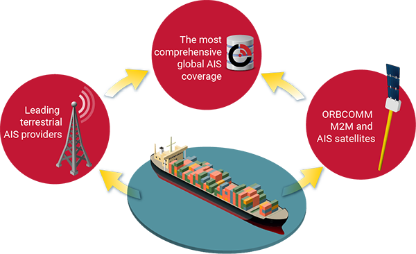
By partnering with some of the most trusted maritime information providers in the world, in addition to our own satellite constellation, ORBCOMM offers the most complete situational picture of global vessel activity available today.
Satellite AIS: The ORBCOMM Advantage
- The Most Comprehensive Global AIS Service
One-stop shopping for reliable terrestrial and satellite AIS data. - Committed to Helping our Partners
We don’t compete with our partners. We enable them to succeed. - Established and Financially Stable
A publicly-traded AIS technology pioneer with over 1.8 million subscribers.

ORBCOMM OG2: A Game Changer for Satellite AIS
The launch of ORBCOMM’s next generation, AIS-equipped OG2 satellites opened up even greater possibilities for satellite AIS data, namely:
- Lower Latency
With the launch of 16 next generation OG2 satellites and our network of 16 global gateways, ORBCOMM is now processing 28 million messages daily, 86% with an average latency of less than one minute. - Increased Detection Rate
ORBCOMM’s OG2 satellites pass over vessels more frequently and for longer periods of time, increasing the probability of detecting a satellite AIS signal. - Cost-Effective
Since satellite AIS is just one of the services offered by the ORBCOMM constellation, we are able to offer more flexibility in our plans and services compared to other satellite AIS providers.

